About IIRS Outreach Programme
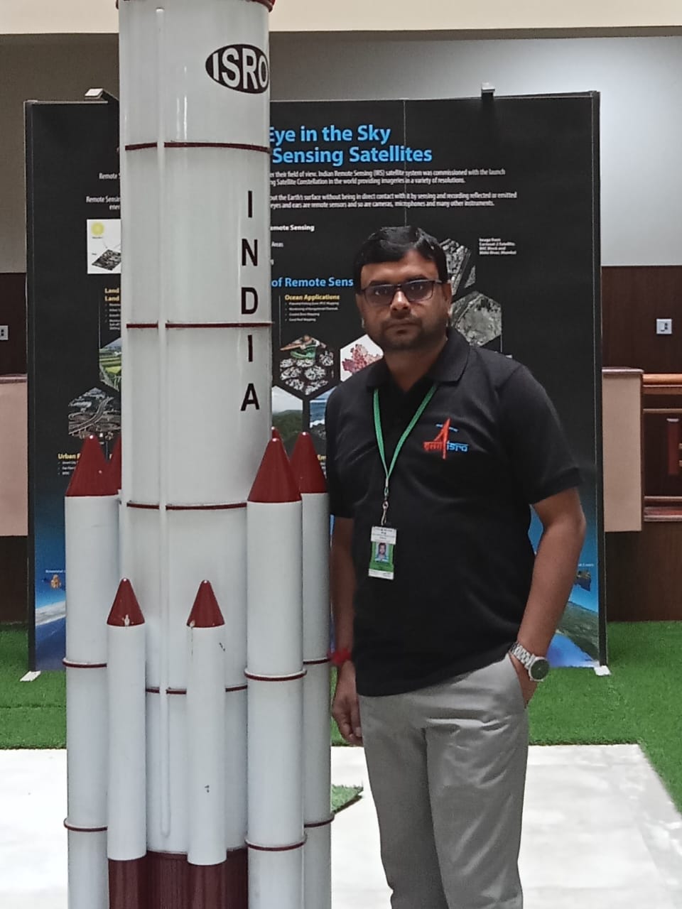
The use of Remote Sensing, Geographical Information System, Global Navigation Satellite System and associated geospatial technologies is increasing rapidly, creating an urgent demand for trained manpower. The live and interactive mode of distance learning is enabled through Internet and A-view software platform developed by Amrita e-learning Lab in collaboration with Ministry of Human Resource Development (MHRD), Government of India. The programs are available through Internet without any cost to the user. The live and interactive sessions will be conducted by experts from IIRS-ISRO and other knowledge Institutions. IIRS has successfully conducted 22 such courses so far with participation of over 120258+ participants from 1048+ academic institutions, government departments and industry. The beneficiaries of the programme may include:
- Central/State/Private Universities & Academic Institutions
- Central & State Government Organizations/Departments
- Research Institutes
- Geospatial Industry
- NGOs
IIRS also conducts various theme oriented online courses and monthly webinars on recent topics on geospatial technologies and its applications. Users are encouraged to actively participate on these programs. For more details, please visit IIRS official website- www.iirs.gov.in
Objectives
- IIRS Outreach Programme focusses on strengthening the Academia and User Segments in Space Technology & Its Applications using Online Learning Platforms. Under this programme the two mode of content delivery system is developed using online learning platform (i.e.) Live & Interactive mode (known as EDUSAT) and e-Learning mode.
The key advantages of IIRS courses:
- IIRS is the only institute which offers courses according to the changing user needs and it is only one of its kind in India where courses are conducted at various levels. After attending this course, you will able to learn in the field of remote sensing & applications.
- It is open for all those who are interested in the RS & GIS.
- There are number of courses available. You can get the details www.iirs.gov.in/Edusat-News Every year IIRS publishes annual course calendar for IIRS outreach programme.
- IIRS offers different level of courses in many disciplines for beginners and professionals working in the field of remote sensing through Live & Interactive mode. You can choose your course from any of the below disciplines according to your area of specialization
• Basic of Remote Sensing, Geographical Information Systems & Global Navigation Satellite System.
• Specialized course on different theme - Different course having different duration. Basic course on RS, GIS & GNSS is for 3 months duration. Duration of specialized courses may vary from one week to one month duration. Updated details may get on our website www.iirs.gov.in/Edusat-News
- Apart from basic courses on RS, GIS & GNSS, IIRS offers specialized courses in the various disciplines such as:
• Advances in Geoinformatics
• Geo - Web Services – Technology & Applications
• Microwave (SAR) Remote Sensing for Natural Resources
• Urban Planning
• Open-Source GIS - All the study material provided by faculty such as presentation contents, suggested links and recorded video sessions will be available under E-CLASS login
- The certificate will be issued within one month from the date of examination. The certificate will be available through coordinator of networked Institution (if applicable). The certificate will also be available under E-CLASS login of each participant.
About e-learning:
- E-learning is an active learning platform which provides learner centric online courses of various discipline. It provides a platform where the individual gets a customized package related to key thematic areas, through a computer-guided process. E-learning is a part of IIRS Distance Learning or Outreach Programme. The e-learning courses are designed and developed as a self-learning content with computer guided system. The learners can take these courses with self-pace and convenience. EDUSAT is a live and interactive programme which can be attended through any online contents delivery system such A-view, webcasting, IIRS live server etc. Under these programmes, the live classroom sessions are broadcasted during defined time slot and duration. Under Live and Interactive programme, the network of knowledge Institutions in India is setup with identified coordinator. The participants have to register for the programme by selecting any one network Institution. The participant has to attend the programme through nodal centre.
- You can register for IIRS e-Learning by visiting the site https://elearning.iirs.gov.in
Programme Co-ordinator

Assistant Professor of Geography
jit.mandal2010@gmail.com
+91 9474648128
+91 8145598497
Important Links
Contact us
- Phone: +91 9474648128 & +91 8145598497
- Email: jit.mandal2010@gmail.com
- Location: (with Google Map Location) Department of Geography, Dumkal College, under affiliation of University of Kalyani, P.O.- Basantapur, Dist – Murshidabad, Pin code – 742406, West Bengal, India


